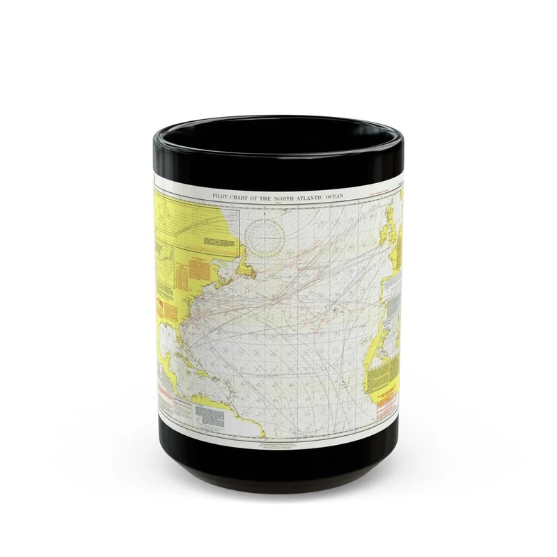
The "Atlantic Ocean - North (1903)" is a historical map depicting the northern portion of the Atlantic Ocean from 1903. This cartographic representation offers geographical details, such as landmasses, islands, and coastal features, along with nautical information, like depth contours and navigational symbols. The map serves as an important record of geographical knowledge and maritime navigation during this time period in the North Atlantic region. It is a valuable resource for researchers, historians, and anyone interested in understanding historical cartography.
Express delivery and return policies
Free shipping on orders over $30
Processing time: 1-2 Days
Shipping time: 3-5 Days(According to the logistics method and delivery address)
Items can be returned or exchanged within 30 days !
![Seventh Jewelrize [EX8-072] [Chain of Liberation]](https://img.luxuryshes.shop/64/4558/2025052019/seventh-jewelrize-ex8-072-chain-of-liberation.webp)


![Fractal // Rowan, Scholar of Sparks Emblem Double-Sided Token [Strixhaven: School of Mages Tokens]](https://img.luxuryshes.shop/77/3975/2025050711/fractal-rowan-scholar-of-sparks-emblem-double-sided-token-strixhaven-school-of-mages-tokens.webp)